What We Do
ImageAir provides professional aerial services and advice to a variety of industries including mining, agriculture and the Government sector. We focus on delivering solution that directly enhance productivity and assist to manage and maintain good environmental stewardship practices.
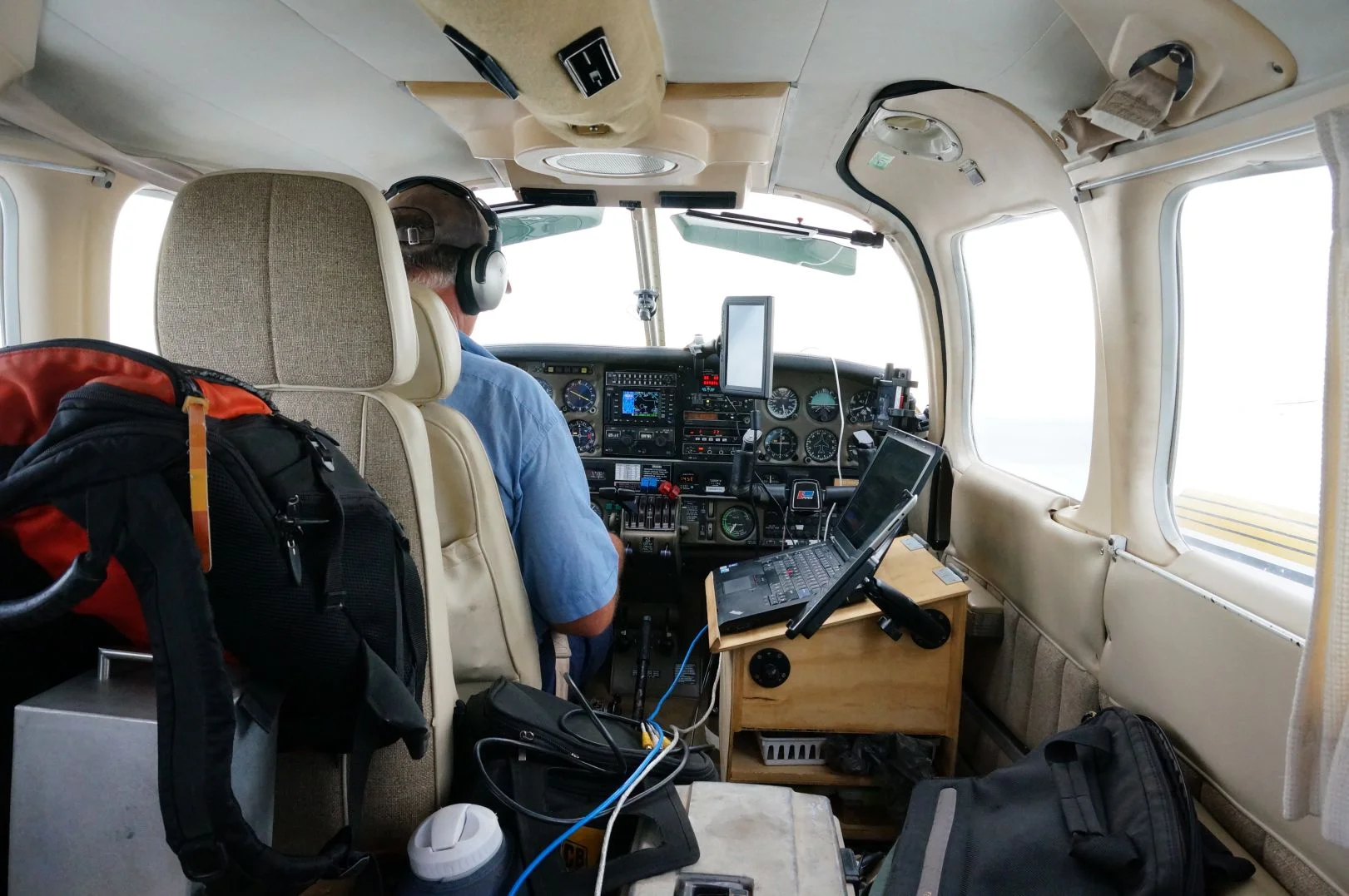
Unlike most similar organisations, ImageAir was an established flying company that began specialising in data collection. This means that we partner with a variety of data analytic specialists with a core focus being to manage the flying component and providing a camera platform to meet your timelines and to be performed within budget.
The benefit of this arrangement is that we are the authorities in our field, highly skilled and adept in flying. We work closely with our partners, who are authorities in their respective fields, to manage your product end to end. As you can gather, we are strong supporters of relationship development. We also focus much of our time on researching the latest cutting edge technology to ensure we never become complacent in such a progressive field of work.
ImageAir is experienced in providing data with Near InfraRed (NIR) and Thermal InfraRed (TIR) technology, as well as having a focus on Orthophotography and LIDAR and Digital Terrain Modelling DTM/DSM work. We are also able to provide a low cost camera platform to suit most equipment from outside vendors.
If you’d like us to work with you to provide geospatial image solutions for your business contact us today.
Profile
ImageAir is founded and driven by Rohan Lloyd. Rohan has been involved in aerial work industry for more than 20 years. In this time he has been involved in crop protection, fire suppression and most recently has specialised in geospatial imagery. Rohan’s serious interest in geospatial imagery began when he was asked to design and commission an airborne Variable Rate spray system to assist in precision agriculture applications.
ImageAir began primarily servicing businesses in the agricultural industries, providing assistance in areas such as pest and problem identification, water and irrigation management and yield projection. Areas within agriculture who have utilised ImageAir’s services include, but not limited to, cotton, cereal crops, viticulture, rice, olives and almonds. A testament to ImageAir’s precision and accuracy in data collection has culminated in our business developing a following in other industries, predominately mining. Even so, ImageAir is still committed to offering a price competitive service, by industry standard, across all areas we practice in.
ImageAir currently operates in Australasia, primarily based in Queensland. ImageAir also has partners in North America.