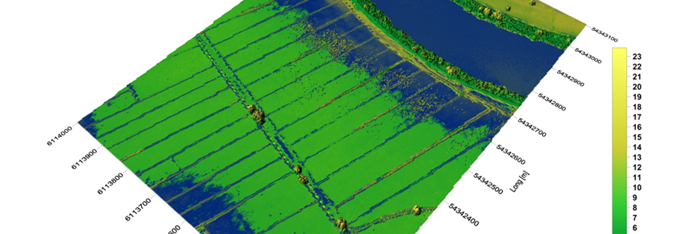
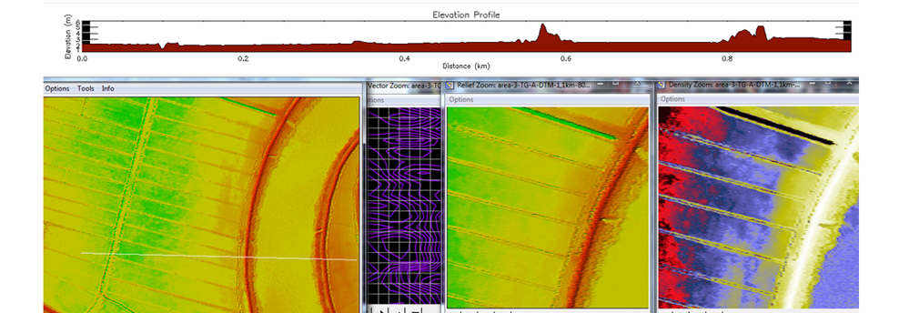
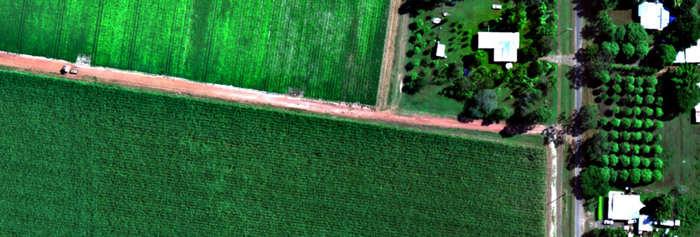
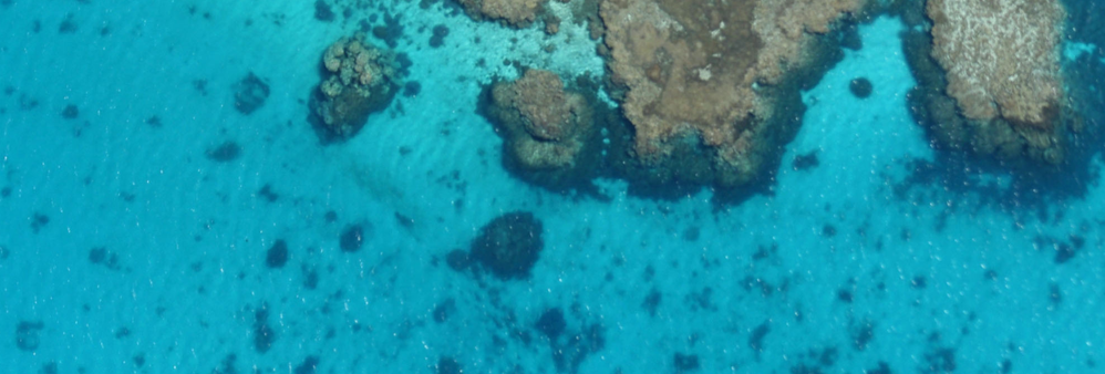
ImageAir specialises in geo-spatial imagery. Geo-spatial imagery can hold the key to your planning and surveillance problems. The images or associated mapping we can provide you with will help empower your business to make informed choices in order to maximise productivity.
We understand the importance of helping you to develop and grow your business. With this is mind, we give you full rights and access to all of the images we obtain for you. We are committed to working with you to build a productive outcome for your business.
News
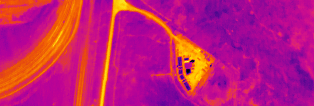
ImageAir off to do more Urban Island Heat Mapping. Once again we are being tasked to do image capture for our long time associate, SPATIAL SCIENTIFIC. This time they have us going back to the Melbourne, VIC area to do a midnight capture of the City of Yarra council area. These local government districts are obviously finding the resulting mapping to be of use as can be seen through the word of mouth and repeat business.
Please contact us to find out more.